
拍品信息
拍品名称
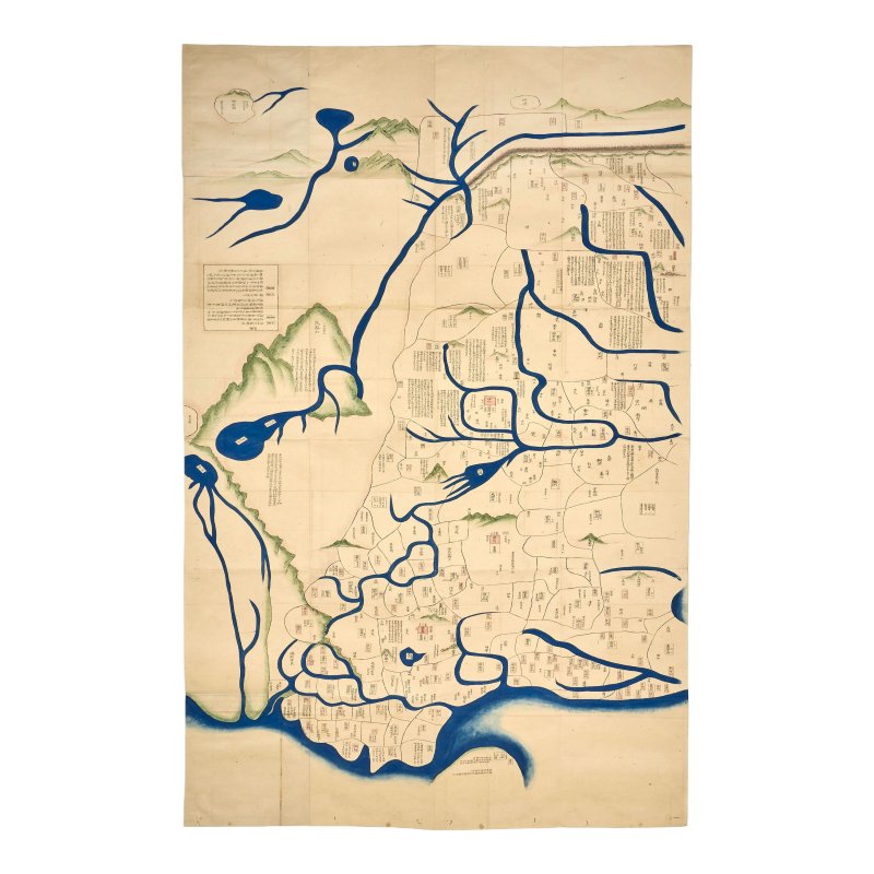
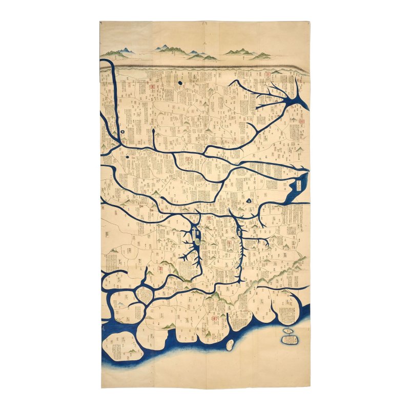
一八五一年 《中華一統圖》 | A MAP OF CHINA
年代
1851
起拍价
GBP 5,000
估值区间
GBP 5000 - 8000
尺寸
未知
品相
未知
更多信息
1851
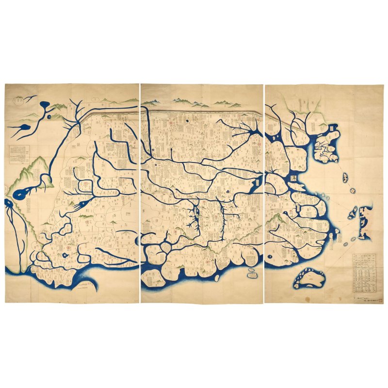
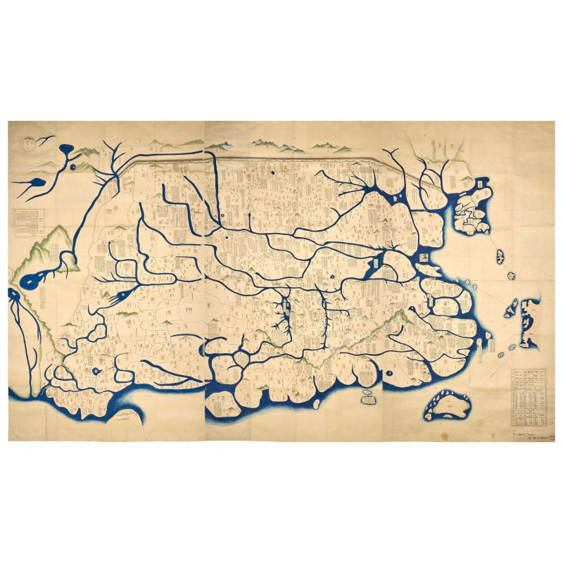
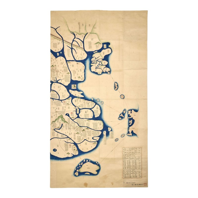
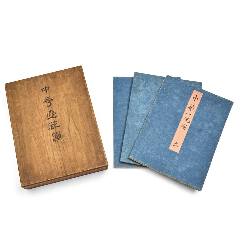
Ink and colour on paper, painted in three sections, dated to the fourth year of the Kaei period, the map illustrates provinces and major landmarks in China with relevant historical facts, as well as a cursory overview of Joseon, parts of Japan, Ryukyu Islands and Qamil, signed Shizan shosha no and the seal reads Gyokudo next to a table listing Chinese dynasties and corresponding capital cities, enclosed within cover pages and wood box titled Chuka itto zu.
Approximately 181cm (71 1/4in) high x 264cm (104in) wide overall
Footnotes
一八五一年 《中華一統圖》
The present map was painted at a turning point in history when China's preeminent position in the world was questioned after the early 1840s. Japan had always seen China as Chūka (the Middle Kingdom) - the supreme source of civilisation, philosophy, literature and political order. However, by the late 1840s, Japan's view of China had shifted to a mix of pity and anxiety as it upheld its own isolationist policy known as sakoku.
Japan viewed China as a cautionary tale to aggressively modernise itself according to Western standards but it also experienced deep ambivalence during the process. There was a growing fear of Western Imperialism and its influence on Japanese culture and sovereignty; this led to a social movement known as (revere the Emperor, expel the barbarian). The anti-foreign sentiment was accompanied by fascination with ancient China as seen in the present map painted with a special focus on classical Chinese history and tales, offering a glimpse of Japanese scholars' affinity for the classical past. This connection was especially felt by traditionalist Confucian scholars who retained their reverence for classical Chinese culture and blamed the nomadic Manchus for China's decline, they coined the term (a transformation from civilised to barbarian).
In fact, the map is titled (A Unifying Map of China), yet it includes Joseon and parts of Japan, which seems to position China as a cultural anchor during a period of geopolitical uncertainties and fluctuating cultural identity.
There is a related album of Japanese historical atlas of China titled , dated 1848, in the University of British Columbia Library, accession no.10.14288/1.0216518.
Compare with a smaller Japanese map of China, dated 1837, sold by Sotheby's London, 7th November 2016, lot 215.
Ink and colour on paper, painted in three sections, dated to the fourth year of the Kaei period, the map illustrates provinces and major landmarks in China with relevant historical facts, as well as a cursory overview of Joseon, parts of Japan, Ryukyu Islands and Qamil, signed Shizan shosha no and the seal reads Gyokudo next to a table listing Chinese dynasties and corresponding capital cities, enclosed within cover pages and wood box titled Chuka itto zu.
Approximately 181cm (71 1/4in) high x 264cm (104in) wide overall
Footnotes
一八五一年 《中華一統圖》
The present map was painted at a turning point in history when China's preeminent position in the world was questioned after the early 1840s. Japan had always seen China as Chūka (the Middle Kingdom) - the supreme source of civilisation, philosophy, literature and political order. However, by the late 1840s, Japan's view of China had shifted to a mix of pity and anxiety as it upheld its own isolationist policy known as sakoku.
Japan viewed China as a cautionary tale to aggressively modernise itself according to Western standards but it also experienced deep ambivalence during the process. There was a growing fear of Western Imperialism and its influence on Japanese culture and sovereignty; this led to a social movement known as (revere the Emperor, expel the barbarian). The anti-foreign sentiment was accompanied by fascination with ancient China as seen in the present map painted with a special focus on classical Chinese history and tales, offering a glimpse of Japanese scholars' affinity for the classical past. This connection was especially felt by traditionalist Confucian scholars who retained their reverence for classical Chinese culture and blamed the nomadic Manchus for China's decline, they coined the term (a transformation from civilised to barbarian).
In fact, the map is titled (A Unifying Map of China), yet it includes Joseon and parts of Japan, which seems to position China as a cultural anchor during a period of geopolitical uncertainties and fluctuating cultural identity.
There is a related album of Japanese historical atlas of China titled , dated 1848, in the University of British Columbia Library, accession no.10.14288/1.0216518.
Compare with a smaller Japanese map of China, dated 1837, sold by Sotheby's London, 7th November 2016, lot 215.
常见问题
这件一八五一年 《中華一統圖》 | A MAP OF CHINA的成交价是多少?
落槌价为 预展中。 成交价为 预展中。